While there’s little doubt in the scientific community about the causes of climate change, questions remain on its effects on the Earth’s landscapes in the coming decades.
With the help of two new grants for more than $600,000, UO geography professors Johnny Ryan and Sarah Cooley are working to shine a light on some of those unanswered questions.
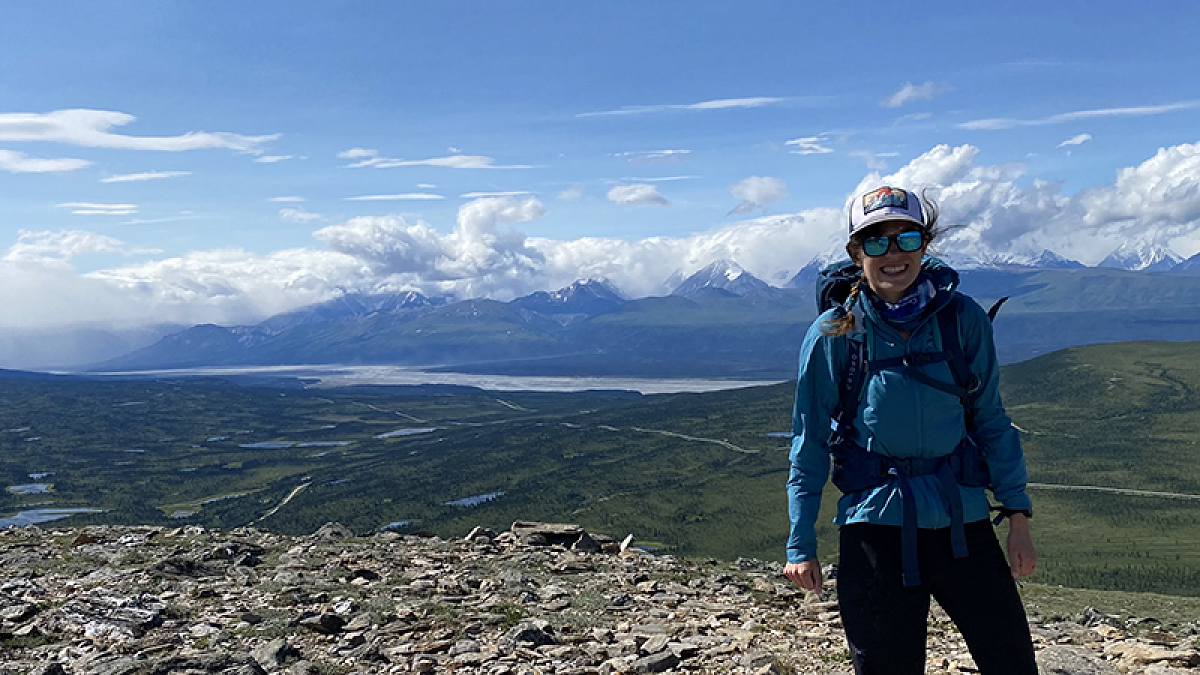
The grants come from NASA, and the first one, for $386,092 distributed over a three-year period, will allow Cooley to use satellite data to map the seasonal fluctuations of Arctic lakes. As global temperatures rise, the arctic permafrost melts, affecting the seasonal variability of the lakes’ depth and surface area, said Cooley, an assistant professor.
But since the lakes are remote and difficult to access, the data on the ground isn’t enough to produce high-resolution maps of their seasonal fluctuations.
“Traditionally, it’s been really hard to study Arctic lakes,” Cooley said. “The kind of satellite data that we had until recently wasn’t sufficiently high-resolution, so we couldn’t see the changes.”
To solve that problem, Cooley is using data collected from a new class of satellites called CubeSats, which take daily measurements of the Earth’s surface at extremely high-resolution. CubeSats have only existed for about five years, she said, and differ from other types of satellites in that private companies launch them into orbit and then sell the data to scientists and government organizations like NASA.
Using the data, Cooley hopes to solidify the research value of CubeSat data. She also hopes to produce high-resolution maps that will improve scientific understanding of the relationship between permafrost thaw and surface water in the Arctic.
The goal, Cooley said, is to provide scientists with more accurate predictions on the effects of rising temperatures on freshwater lakes worldwide.
“It will allow us to quantify their fluctuations in much more detail, which will hopefully tell us more about how we might expect lakes to change in the future as we see continued permafrost thaw,” Cooley said.

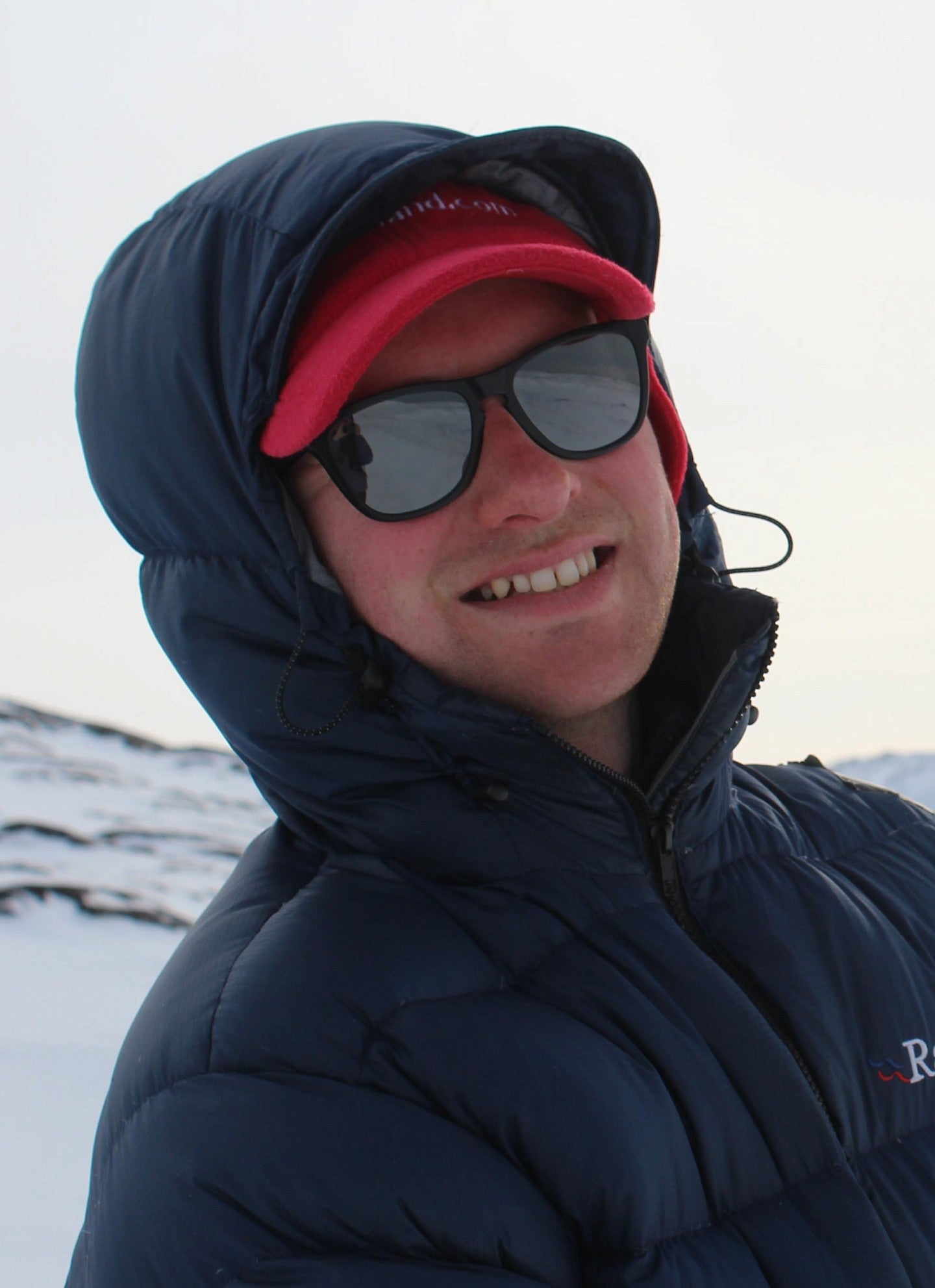
Assistant professor of geography Johnny Ryan was the recipient of a second, $290,152 NASA grant to a study the effects of cloud cover on the melting of the Greenland ice sheet.
Over the next 100 years, the majority of sea-level rise will likely come from the Greenland ice sheet, Ryan said. While clouds can shield the ice from intense sunlight, they can also trap solar radiation, which increases air temperatures and contributes to higher rates of warming.
“Clouds have this dual effect,” Ryan said. “They shade the ice sheet from the sun, but they also reflect heat back down to the surface.”
Ryan will use two types of satellite data to produce a three-dimensional, high-resolution analysis of the clouds hovering over Greenland. But according to Ryan, the only way to get an accurate representation of how the clouds affect melting patterns is by looking at cloud cover collected through satellite imagery and other details, including cloud thickness and composition, using high-precision atmospheric lasers.
“A very low, thick cloud, like a cumulus cloud, is going to reflect back pretty much all the solar radiation,” he said. “Knowing what type of cloud you have is very important for understanding how much radiation is going to get through it.”
The data collected from the study will be used to create more accurate climate models to predict future melting and chart rising sea levels that are influenced by the ice sheet melting.
—By Cole Sinanian, College of Arts and Sciences


