Some 5 million years ago Blythe, California, could have been a bustling seaport instead of a desert community along the Colorado River and Interstate 10. Of course, geologic time changes everything.
A team of UO geologists — led by master's student Brennan O'Connell — has found evidence in rocks that strongly suggests that the Gulf of California once reached Blythe and possibly extended to Parker, Arizona. The southernmost corridor of today's Colorado River was covered in seawater, the researchers concluded in a paper online ahead of print in the journal Geology.
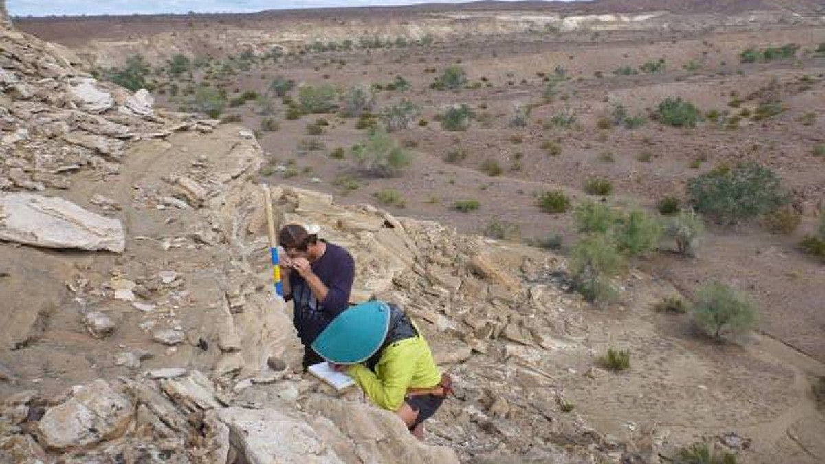
O'Connell's research took her to sedimentary rocks — those formed by layers of sediment deposits through geological time — that today are on the periphery of the river's valley, which, the researchers said, also has experienced uplift.
The layers vary in thickness, reflecting the regular rhythms of seawater during strong spring and weak neap tides, and point to about 1,082 feet of uplift of the seafloor in roughly the past 5 million years, O'Connell said.
The findings provide compelling evidence that this region, known as the southern Bouse Formation, was not part of a long chain of large freshwater lakes that filled during the first arrival of river waters coming down from the mountains, as scientists have been thinking for two decades.
"The recognition of tidal deposits in the Bouse Formation places an important new constraint on uplift of a broad region from the San Andreas fault to the western Colorado Plateau over the past 5 million years," said co-author Rebecca J. Dorsey, a professor in the UO Department of Earth Sciences who has studied the river's route for many years. "This study makes an important step toward resolving the debate about the depositional environments and tectonic significance of this area."
The Colorado River today takes a meandering journey of some 160 miles from Blythe, passing under Interstate 10 and flowing mostly southward to where it empties into the present-day northern reach of the Gulf of California.
The many-lakes perspective is based on geochemical composition of rocks in the region. Scientists have suggested that marine fossils found in the rocks resulted from birds carrying sea organisms into the region. The new findings, O'Connell said, complement evidence by paleontologists who have argued for a seawater environment for more than 50 years based on the presence of marine fossils.
"We came at it from a new perspective," O'Connell said. "We focused more on the features of the rocks, connecting them with both chemistry and paleontology. We wanted to understand the ancient environments these rocks were formed in by identifying distinct features. Sedimentary deposits look very different if they are produced in a lake versus a tidal setting."
The many layers of varied thickness contain clues to depositional processes, she said. Stronger tides transport higher loads of sediment. O'Connell's UO team used a mathematically driven technique to graph the relationship between the varying thickness to tidal velocities. The results point to regular tidal cycles rather than random movements of sediment that would be produced by tributary river floods, storms, wind-generated lake currents or annual biochemically induced deposition.
"The stronger and higher the tides, the more sediment is transported, producing a thicker layer," she said. "Spring tides produce thick layers of sediment, and neap tides produce thin layers. Differences in tidal current velocities are clearly seen in these layers of exposed sedimentary rocks. This didn't happen in a lake. Lakes don't have tides large enough to create such variations."
Eugene D. Humphreys, a professor in the UO Department of Earth Sciences, also was a co-author on the paper.
—By Jim Barlow, University Communications


