A little after 8:30 a.m. on May 18, 1980, an earthquake sent the north face of Mount St. Helens collapsing into a landslide, set off a volcanic eruption 80,000 feet into the air and sent ash toward 11 states and two Canadian provinces.
To mark the 40th anniversary of the event on May 18, scientists from the University of Oregon, Western Washington University, University of Washington and U.S. Geological Survey are partnering in a webinar, accessible to anyone on YouTube. It will highlight the science and how the lessons learned have refocused the approach to volcanology.
The webinar, “Mount St. Helens and the Cascade Range Volcanoes — The 40th Anniversary,” will air from 6:30 to 8 p.m. on the YouTube Channel of the Pacific Northwest Seismic Network. The webinar will feature edited versions of four recent talks, including one by the UO’s Josef Dufek, about Cascade Range volcanos. A live question-and-answer session with the speakers will follow the talks.
“The eruption of Mount St. Helens that spring day dramatically changed the way we view volcano hazards and profoundly impacted communities in the Pacific Northwest,” said Dufek, the UO’s Lillis Professor of Volcanology and director of the Oregon Center for Volcanology, whose previous talk is among those to be featured.
“Natural hazards are one of the main focuses of the Department of Earth Sciences at the University of Oregon, and I am very excited to participate in an event that highlights some of the past and ongoing efforts of the Pacific Northwest Seismic Network and Center for Volcanology,” he said.
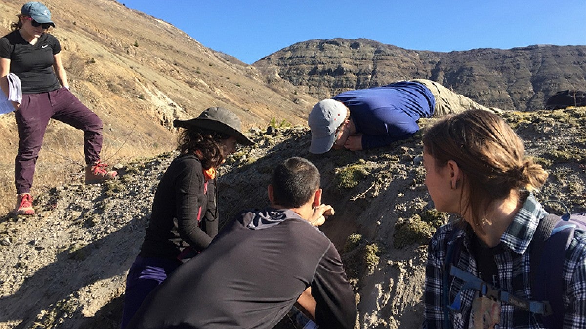
Mount St. Helens is a frequent destination for earth science students at the UO. Last November, students in a field methods course teamed up with the U.S. Geological Survey to study deposits of pyroclastic density currents — a type of hot, high-energy avalanche — from the 1980 eruption. The eruption transformed the scientific understanding of eruption dynamics, Dufek said.
Mount St. Helens is in Skamania County, Washington, about 70 miles from downtown Portland. Rumblings signaling a possible large eruption began with a series of volcanic explosions and lava flows about eight weeks before May 18. The eruption was one of the largest historical explosions ever recorded in North America.
Speakers from the show will form a panel to answer viewers questions immediately following the program in a Facebook Live broadcast from the PNSN Facebook page. The discussion will be moderated by network director Harold Tobin, who also is a professor in the Department of Earth and Space Sciences at the University of Washington.
The Pacific Northwest Seismic Network is a collaboration of the UO, UW and USGS, with additional support from the U.S. Department of Energy and the state governments of Washington and Oregon. It is dedicated to reducing the hazards of earthquakes and volcanic eruptions in the two states by providing accurate and fast information about earthquakes and ground motions to scientists, engineers, planners and the public.
—By Jim Barlow, University Communications


